Project Description
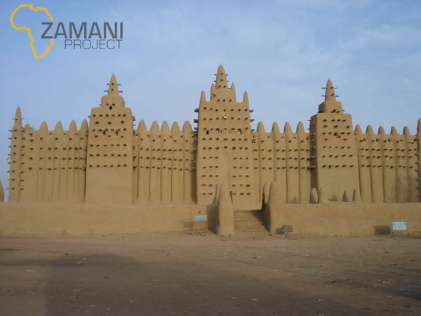
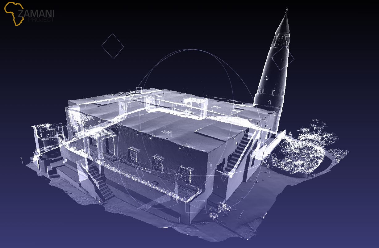
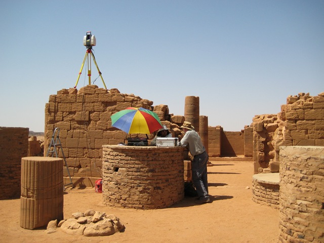
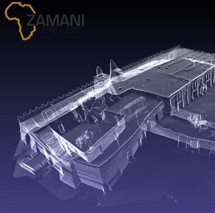
The Zamani Project, started by the Geomatics Department at the University of Cape Town, aims to accurately record the physical and architectural dimensions of African Cultural Heritage sites. The project produces some of the best and most accurate heritage documentation in the world. However, many of the data sets are very large, and the various stages of data processing are quite complex. This project aims to solve some of the challenges faced by the team.
The project is divided into two major components. The first is a workflow management system developed by Michiel Baird. The second is an point cloud indexing and streaming system for large point clouds developed by Tim Trewartha. These two components aim to solve challenges faced by the members of the Zamani Project.